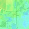
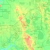
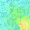
Mapa topográfico Fort Meade
Haga clic en el mapa para ver la altitud.
Fort Meade
Fort Meade is the oldest city in Polk County, dating its origins to 1849, when it was established along a new military road from Tampa (Fort Brooke) to Fort Pierce following the Second Seminole War. The town and road were originally sited by then-lieutenant George Meade of the Corps of Topographical Engineers, whose commander named it for him. Around the start of the American Civil War a mounted volunteer company nicknamed the "Hickory Boys" was formed at the fort. The 1880s business district was located on old Wire Street (now Broadway), which was a casualty of four devastating fires. There are over 150 buildings which are designated as landmarks. In the 1890s, the Fort Meade Street Railway operated a horse-drawn service in the town.
Acerca de este mapa
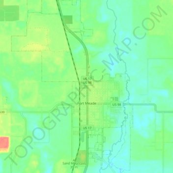
Nombre: Mapa topográfico Fort Meade, altitud, relieve.
Lugar: Fort Meade, Polk County, Florida, 33861, United States (27.71892 -81.84238 27.80140 -81.77697)
Altitud media: 39 m
Altitud mínima: 19 m
Altitud máxima: 86 m
Otros mapas topográficos
Haga clic en un mapa para ver su topografía, su altitud y su relieve.
Allen David Broussard Catfish Creek Preserve State Park
United States > Florida > Polk County
Altitud media: 18 m