
Mapa topográfico 南丰镇
Mapa interactivo
Haga clic en el mapa para ver la altitud.
Acerca de este mapa
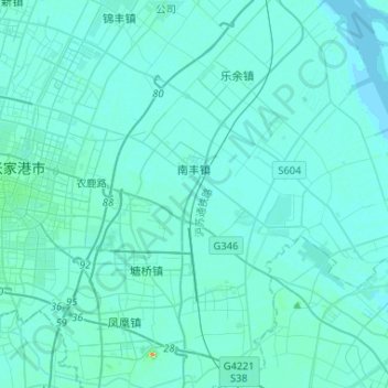
Nombre: Mapa topográfico 南丰镇, altitud, relieve.
Lugar: 南丰镇, 张家港市, 苏州市, 江苏省, 中国 (31.80869 120.63063 31.91666 120.89166)
Altitud media: 4 m
Altitud mínima: 0 m
Altitud máxima: 63 m
Otros mapas topográficos
Haga clic en un mapa para ver su topografía, su altitud y su relieve.