
Gracias por apoyar a este sitio ❤️
Haz una donación
Haz una donación
Mapa topográfico Center Line
Haga clic en el mapa para ver la altitud.
Gracias por apoyar a este sitio ❤️
Haz una donación
Haz una donación
Acerca de este mapa
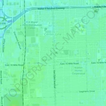
Nombre: Mapa topográfico Center Line, altitud, relieve.
Lugar: Center Line, Macomb County, Michigan, 48015, United States (42.46868 -83.03886 42.49179 -83.01584)
Altitud media: 192 m
Altitud mínima: 187 m
Altitud máxima: 195 m
Gracias por apoyar a este sitio ❤️
Haz una donación
Haz una donación
Otros mapas topográficos
Haga clic en un mapa para ver su topografía, su altitud y su relieve.
Anchor Bay Shores
United States > Michigan > Macomb County > Chesterfield Township
Altitud media: 176 m
Preston Corners
United States > Michigan > Macomb County > Shelby Charter Township
Altitud media: 198 m
Gracias por apoyar a este sitio ❤️
Haz una donación
Haz una donación
Sterling Heights
United States > Michigan > Macomb County > Sterling Heights > Sterling Heights
Altitud media: 205 m