
Mapa topográfico 社迳乡
Mapa interactivo
Haga clic en el mapa para ver la altitud.
Acerca de este mapa
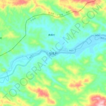
Nombre: Mapa topográfico 社迳乡, altitud, relieve.
Lugar: 社迳乡, 全南县, 赣州市, 江西省, 中国 (25.04020 114.64296 25.12020 114.72296)
Altitud media: 286 m
Altitud mínima: 180 m
Altitud máxima: 563 m
Otros mapas topográficos
Haga clic en un mapa para ver su topografía, su altitud y su relieve.