
Gracias por apoyar a este sitio ❤️
Haz una donación
Haz una donación
Mapa topográfico Swallow Falls State Park
Haga clic en el mapa para ver la altitud.
Gracias por apoyar a este sitio ❤️
Haz una donación
Haz una donación
Acerca de este mapa
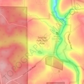
Nombre: Mapa topográfico Swallow Falls State Park, altitud, relieve.
Altitud media: 744 m
Altitud mínima: 644 m
Altitud máxima: 787 m
Gracias por apoyar a este sitio ❤️
Haz una donación
Haz una donación
Otros mapas topográficos
Haga clic en un mapa para ver su topografía, su altitud y su relieve.
Hoye-Crest
United States > Maryland > Garrett County
Hoye-Crest is a summit along Backbone Mountain just inside of Garrett County, Maryland. It is the highest natural point in Maryland at an elevation of 3,360 feet (1,020 m).
Altitud media: 887 m
Gracias por apoyar a este sitio ❤️
Haz una donación
Haz una donación